The Genesee Gorge
The gorge of the Genesee River in Rochester begins at the Upper or High Falls near downtown and ends at Charlotte where the Genesee River enters Lake Ontario. Its course through the city contains three waterfalls: Upper Falls 80 ft., Middle Falls 25 ft. and Lower Falls 84 ft. in height. The gorge is the deepest in the vicinity of the Lower Falls/Driving Park Bridge where it is a little less than 200 feet deep. Here the material at the bottom of the gorge was deposited 430 million years ago; At the top, 410 million years ago. You are looking at 20 million years of geological deposition in a gorge that was carved in the last 10,000 years. In 1992, Thomas X Grasso wrote two issues of Rochester History on the geology and history of the gorge.
The Falls of the Genesee in Rochester
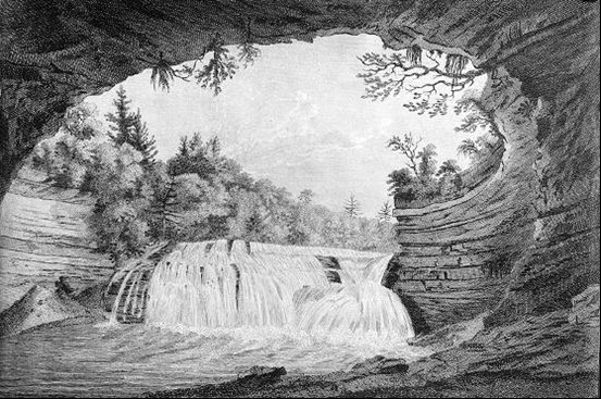
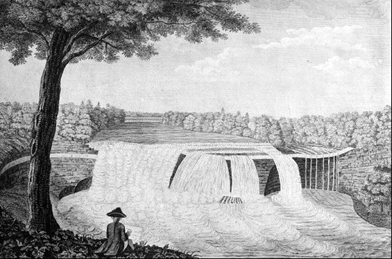
The French and Indian War pitted the British against the French. The war was officially ended with the 1763 Treaty of Paris but fighting in North America had ended by 1760. The result of the war was the ceding of the French lands in North America east of the Mississippi River to the British. In the era before photography, pictures were still desired so some British officers were trained in art. Thomas Davies made several trips to the Lake Ontario area returning to Britain in 1763. In 1768 he issued a series of etchings Six Views of Waterfalls. Three of the series were the first known views of the three waterfalls on the Genesee River in Rochester. The etchings are somewhat fanciful. A book, Thomas Davies c. 1737 - 1812; An Exhibition Organized by The National Gallery of Canada, Ottawa, was published in 1972.

Lower Falls

Middle Falls

High Falls
The height of the Upper or High Falls is often listed as 96 feet. This comes from the 1838 book Sketches of Rochester by Henry O'Reilly. It is not known how this measurement was made. There were frequent floods in downtown Rochester with the breach occurring near the Main Street Bridge. The worst occurred in 1865.

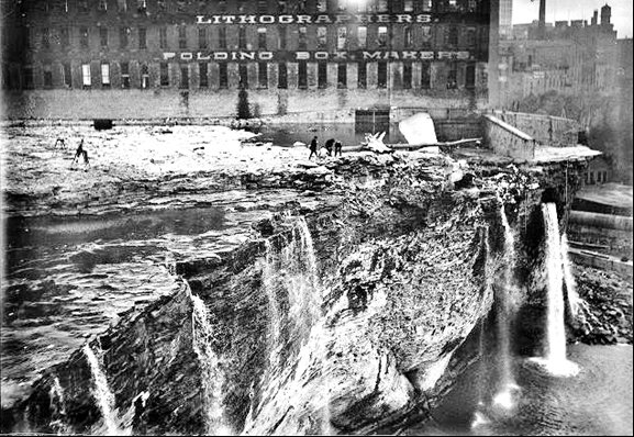
How could the river be made to hold more water? The answer was to dredge the river deeper. In 1914, starting a few hundred feet north of the Aqueduct the Genesee River was dredged. This reduced the height of the High Falls. It is now measured as 80 feet making the Lower Falls the highest in Rochester.

Albert R. Stone Negative Collection - Rochester Museum and Science Center
Blasting the Lip of the Falls